Project: The Planetary Robotics Vision Ground Processing (PRoVisG)
Research / Projects: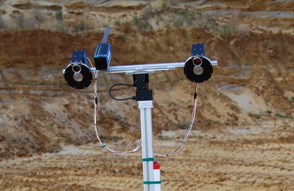
PRoVisG aims to:
- Build a framework for planetary robotic vision ground processing.
- Develop the technology to better process and visualise the existing and future data from planetary robotic missions in order to maximize the value-added exploitation of these data for research, technology and education.
- Increase public awareness of planetary robotic missions and the European contribution to their scientific evaluation.
In the context of PRoVisG, robotic planetary space missions are defined as unmanned missions performing in situ exploration (including airborne systems) of the surface and (if applicable) atmosphere for any planetary objects outside the Earth. Most such missions involve a means of mobility provided by either a surface vehicle (‘rover’) or by aerial vehicles (balloons, aerobots etc.). It is mobile systems that are the most critical of all space missions in requiring a rapid turnaround of imaging data through processing and proper presentation on the ground (i.e., back on Earth) to allow efficient planning of operations in order to make maximum use of the usually limited lifetime of the vehicle in question.
It is envisaged that in future the number and variety of such platforms will require more autonomy than is feasible today. PRoVisG will provide the building blocks for such future autonomous exploration systems in terms of robotics vision.
This project brings together the major international groups currently working on planetary robotic vision, consisting of research institutions inside and out of Europe, the European Space Agency (ESA), the National Aeronautics and Space Administration (NASA), and the industrial stakeholders involved in vision & navigation for robotic space missions as well as for their scientific exploitation.
In order to accomplish the afore mentioned aims PRoVisG will:
- Develop a unified and generic approach for robotic vision ground processing.
- Deliver a web-based Geo-Information System (GIS) that invokes a comprehensive vision data processing chain as well as visualisation of the context, history, vision metadata and products for complete robotic planetary missions.
- Demonstrate the implemented infrastructure using available rover and aerobot mock-up equipment available at some of the collaborator institutions.
- Conduct a field – test campaign, and a summer school. The results will be presented at dedicated workshops, supported by PRoVisG, including a quantitative, systematic evaluation by members of the PRoVisG Consortium.
Members of the PRoVisG Consortium
- JOANNEUM RESEARCH , Graz, A, Institute of Digital Image Processing
- Aberystwyth University , UK, Department of Computer Science
- DLR , Berlin, D, Institute of Planetary Research
- Czech Technical University , Prague, CZ, Center for Machine Perception
- SciSys Ltd., Bristol , UK
- EADS Astrium , Stevenage, UK
- Technical University Berlin , D, Department for Geodesy and Geoinformation Science
- University College London , UK, MSSL Planetary Science Group
- Ohio State University , Columbus, USA, Mapping and GIS Laboratory
- University of Surrey , Guildford, UK, Surrey Space Centre
- CSEM , Neuchatel, CH
- CNES , Toulouse, F
Associated members
- JPL , Pasadena, USA, Instrument Software Systems Section
- Univ. Leicester , UK, Dept. of Physics and Astronomy
Further Links:
Funding:
The research leading to these results has received funding from the European Community's
Seventh Framework Programme (FP7/2007-2013) under grant agreement n° 218814 "PRoVisG".